


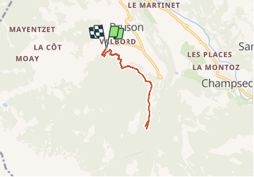


3,3 km | 7,8 km-effort

Gebruiker


Gratisgps-wandelapplicatie
 SityTrail
IGN / Geografische instituten
SityTrail World
De wereld gaat voor u open
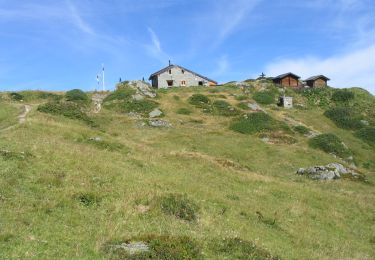
Tocht Stappen van 5,3 km beschikbaar op Valais/Wallis, Entremont, Val de Bagnes. Deze tocht wordt voorgesteld door duamerg.
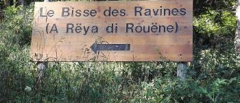
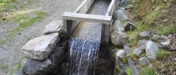
Pour un jour de canicule, joli bisse en grande partie à l'ombre. Intéressant parcours, parsemé de points de vue, bancs, place de picnic.
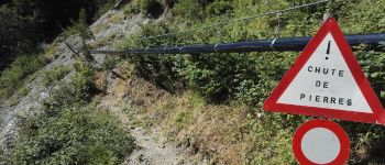
Aucune difficulté. Pour une fois une promenade.
Parcours raquette en hiver


Te voet
Te voet

Te voet
Te voet

Stappen

Te voet
Te voet
Te voet
Te voet